Transit Oriented Development (TOD)

Transit-oriented development (TOD) encourages a mix of residential, commercial, and employment opportunities within identified light rail station areas or other high capacity transit areas. The use pattern is intended to encourage a mixture of residential, commercial, and employment opportunities within transit corridors or areas served by transit. A TOD is intended to promote transit supportive development, ensure access to transit, and to limit conflicts between vehicles and pedestrians and transit operations. A TOD allows for a more intense and efficient use of land at increased densities for the mutual re-enforcement of public investments and private development.

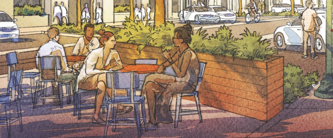
Uses and development are regulated to create a more intense built-up environment, oriented to pedestrians, to provide a density and intensity that is transit supportive. The TOD development standards also are designed to support a safe and pleasant pedestrian environment near transit stations by encouraging an intensive area of shops and activities, with amenities such as benches, kiosks, and outdoor cafes, and by limiting conflicts between vehicles and pedestrians. It is the intent of this section that a TOD be restricted to areas within one-half (½) of a mile of a transit station, an area equivalent to a ten-minute walking distance.
Download the Full TOD Code
TOD Code

(TOD) Classification

The TOD shall consist of two (2) subdistricts known as the “TOD Core” (TOD-C”) AND THE “TOD Periphery” (“TOD-P”).

Building Types

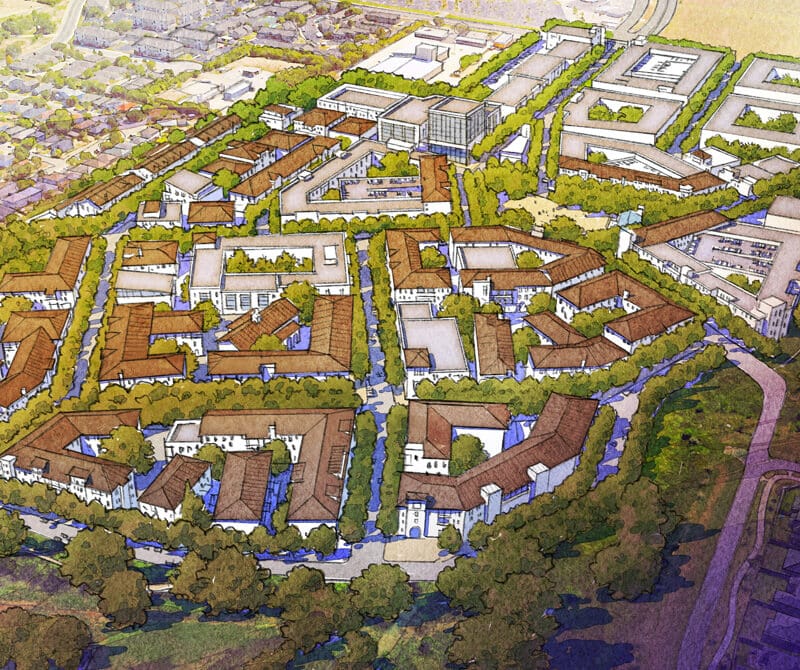
The majority of structures within VICINIA are intended to be mixed-use buildings, predominately residential units with the possibility of ground-floor retail. Sites have also been identified for a senior living component, and an office building, both along the W Military Dr. extension.

There are several civic structures throughout the community and a commercial structure located within the town plaza. Mansion condos and townhouses located along the outer edge of VICINIA also transition into the surrounding neighborhoods.

Building Heights

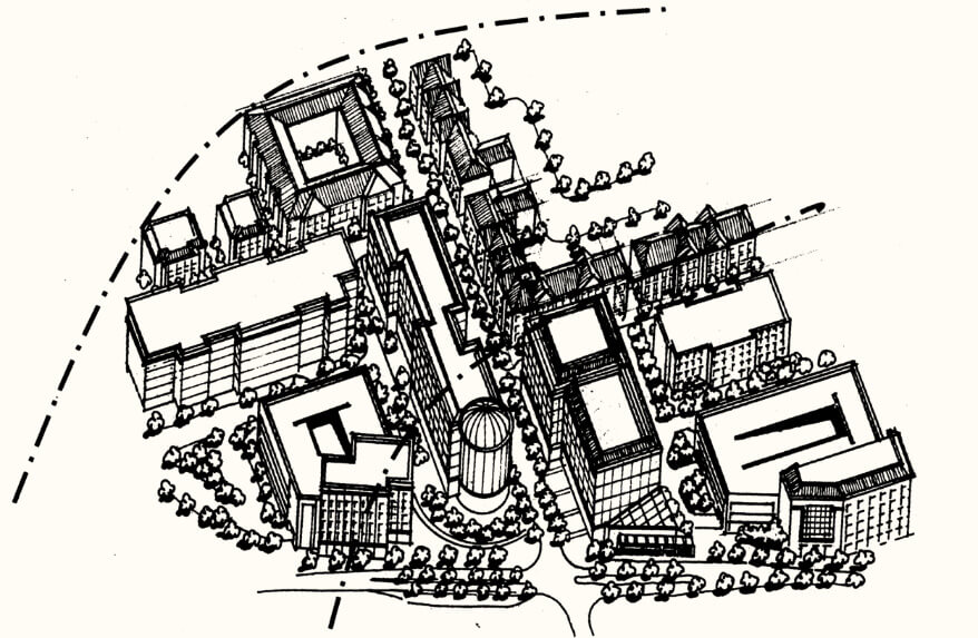
The illustration below conveys the conceptual ideas for building heights in VICINIA. Buildings immediately surrounding the town square, as well as those fronting Potranco Rd., have the greatest height within the project. As you move both north and east through VICINIA, building heights are gradually reduced in order to better fit within the surrounding neighborhood context.

The illustration below conveys the conceptual ideas for building heights in VICINIA. Buildings immediately surrounding the town square, as well as those fronting Potranco Rd., have the greatest height within the project. As you move both north and east through VICINIA, building heights are gradually reduced in order to better fit within the surrounding neighborhood context.

The concepts presented in this illustration do not relieve the developers from compliance with the mandatory FAR calculations listed within the San Antonio UDC.

Live. Work. Shop. Play.

Civic Space

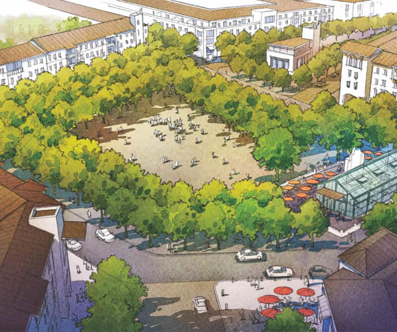
VICINIA includes an assortment of civic spaces dispersed throughout the community. The civic spaces in VICINIA are all pedestrian-oriented, outdoor spaces designed for the use of the general public.

The designated areas are of various sizes and uses. They range from intimate hardscaped pedestrian plazas to expansive green spaces with recreational opportunities.

work-png

Work

Live. Work. Shop. Play.